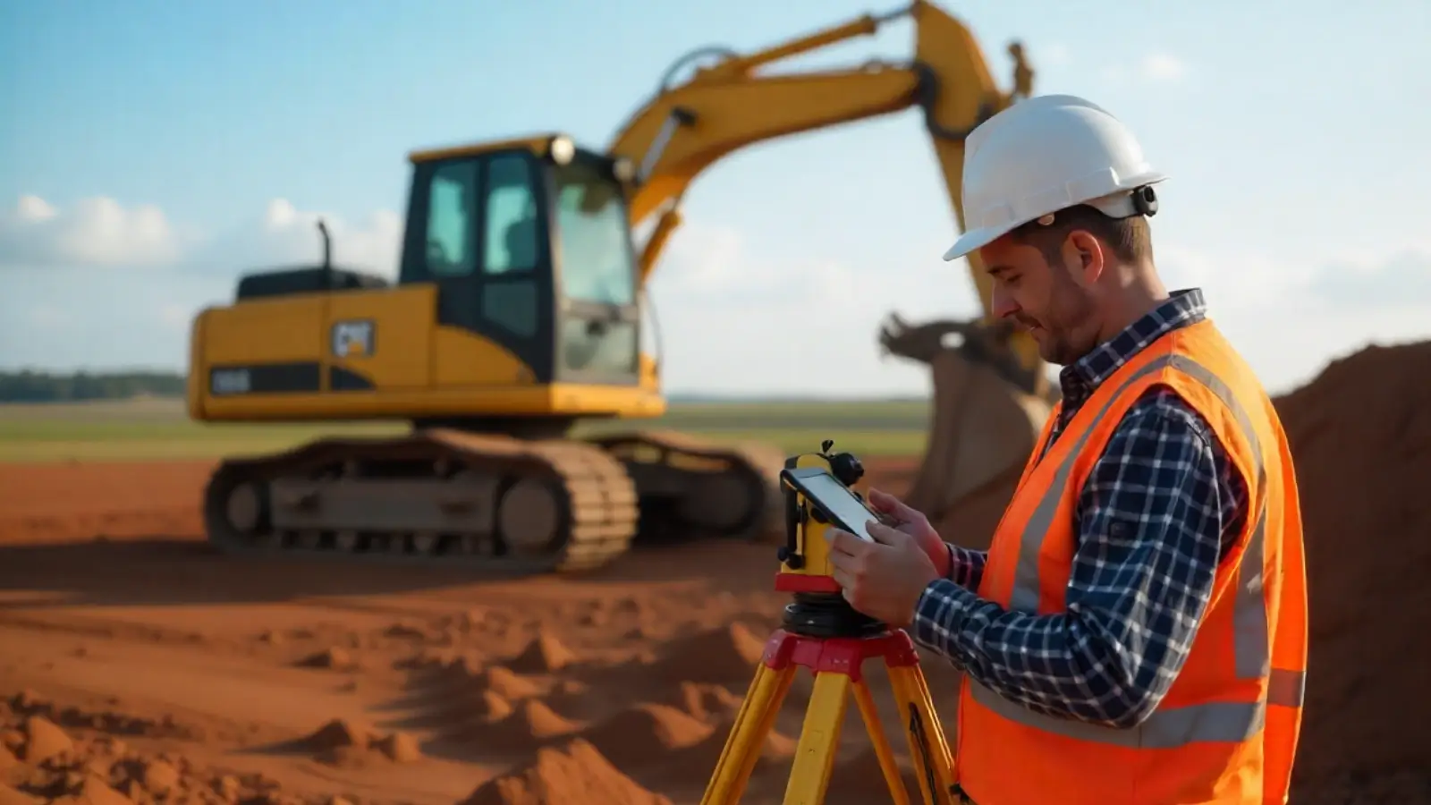
The Importance of Precision in Land Surveying
Land surveying is the cornerstone of numerous industries, from construction and real estate to agriculture and environmental management. Accurate measurements are crucial for mapping boundaries, planning infrastructure, and ensuring compliance with leFgal and regulatory requirements. At the heart of this precision lies the right survey equipment, which enables surveyors to deliver dependable results that shape the world around us.
Evolution of Surveying Tools
Surveying tools have evolved significantly over the years, progressing from rudimentary instruments like compasses and chains to advanced technologies capable of capturing data with pinpoint accuracy. The modern landscape of surveying is characterized by innovative equipment that integrates cutting-edge technology, providing efficiency, reliability, and unprecedented precision.
Key Tools for Accurate Land Measurements
Total Stations
Total stations are a staple in the surveyor's toolkit, combining the capabilities of a theodolite with an electronic distance measurement (EDM) device. This versatile tool measures angles and distances with remarkable accuracy, making it indispensable for tasks such as topographic surveys, boundary mapping, and construction layout.
Equipped with software for data storage and processing, total stations streamline workflows by enabling seamless transfer of field data to computers for analysis. They have become essential for professionals requiring accurate, real-time measurements in diverse environments.
GPS and GNSS Devices
Global Positioning System (GPS) and Global Navigation Satellite System (GNSS) devices have revolutionized surveying by providing precise positioning data over large areas. These systems rely on satellite signals to determine coordinates with high accuracy, making them invaluable for boundary surveys, infrastructure planning, and geographic information system (GIS) mapping.
Advanced GPS and GNSS devices offer real-time corrections through techniques like Real-Time Kinematic (RTK) processing, enhancing accuracy to the centimeter level. These capabilities are especially beneficial in remote areas where traditional survey methods may be challenging.
Levels and Laser Levels
Levels, including automatic levels and laser levels, are critical for determining elevation differences and ensuring flat, level surfaces. Automatic levels use optical systems to provide precise readings, while laser levels project highly visible laser beams for enhanced accuracy in construction and grading applications.
These tools simplify tasks like establishing foundation grades, aligning walls, and ensuring proper drainage systems, making them indispensable for surveyors and contractors alike.
Theodolites
Theodolites have long been a cornerstone of land surveying, known for their ability to measure horizontal and vertical angles with precision. Although total stations have largely replaced traditional theodolites, they remain a reliable and cost-effective option for specific surveying applications.
Modern theodolites often incorporate digital displays and electronic data recording, bridging the gap between traditional craftsmanship and contemporary technology.
Emerging Technologies in Survey Equipment
Drones for Aerial Surveys
Unmanned aerial vehicles (UAVs), or drones, have become a game-changer in the field of land surveying. Equipped with high-resolution cameras and LiDAR sensors, drones can capture detailed aerial imagery and generate accurate 3D models of terrain.
Drones excel in mapping large or inaccessible areas quickly and safely, reducing the need for time-intensive ground surveys. They are especially useful for applications like environmental monitoring, urban planning, and disaster response.
LiDAR Systems
Light Detection and Ranging (LiDAR) systems use laser pulses to measure distances and create detailed topographic maps. These systems are capable of penetrating dense vegetation, making them ideal for forestry surveys and archaeological studies.
LiDAR technology has been seamlessly integrated into both airborne and ground-based survey equipment, enabling surveyors to gather high-resolution data for even the most complex terrains.
Robotic Total Stations
Robotic total stations take traditional total stations a step further by incorporating automated tracking and remote operation capabilities. These systems allow surveyors to control instruments from a distance, improving efficiency and reducing the need for multiple operators.
Robotic total stations are particularly advantageous in large-scale projects, where time and precision are critical factors.
Applications of Modern Survey Equipment
Construction and Infrastructure Development
Surveying is the backbone of construction projects, providing the measurements and data necessary for accurate planning and execution. Modern tools like GPS devices, laser levels, and total stations ensure that structures are built to precise specifications, minimizing costly errors.
Land and Boundary Mapping
Boundary surveys are critical for determining property lines, resolving disputes, and complying with legal requirements. Advanced survey equipment like GNSS devices and total stations enables surveyors to map boundaries with exceptional precision, ensuring clarity and accuracy in land ownership.
Environmental Monitoring
Surveying tools play a pivotal role in environmental management, helping to monitor changes in land use, water levels, and vegetation. LiDAR systems and drones are particularly valuable for collecting data in sensitive or hard-to-reach areas, enabling informed decision-making for conservation efforts.
Urban Planning
Urban planners rely on accurate survey data to design efficient, sustainable cities. Tools like GNSS devices and drones provide the detailed maps and 3D models needed for zoning, transportation planning, and infrastructure development.
Benefits of Using Advanced Survey Equipment
Enhanced Accuracy
Modern survey equipment delivers unparalleled accuracy, ensuring that measurements are precise and reliable. This level of precision is critical for industries where even minor discrepancies can have significant consequences.
Improved Efficiency
Advanced tools streamline survey workflows by automating processes and reducing manual labor. Tasks that once required days to complete can now be accomplished in hours, saving time and resources.
Cost Savings
While the initial investment in modern equipment may be substantial, the long-term savings are significant. Accurate measurements reduce rework and material waste, while efficient workflows lower labor costs.
Adaptability
Today’s survey equipment is designed to perform in diverse environments, from dense forests to urban centers. This adaptability allows surveyors to tackle a wide range of projects with confidence and ease.
The Future of Surveying Technology
As technology continues to evolve, the field of surveying is poised for further innovation. From advancements in artificial intelligence and machine learning to the integration of cloud-based data sharing, the future of surveying promises even greater precision and efficiency.
Emerging tools and techniques will undoubtedly expand the capabilities of surveyors, enabling them to address complex challenges and unlock new opportunities. Whether it’s smart cities, renewable energy projects, or disaster management, survey equipment will remain at the forefront of progress.
Conclusion: Tools for a Better Tomorrow
Surveying is an art and a science that demands accuracy, skill, and innovation. The tools and technologies used in this field have come a long way, empowering professionals to deliver exceptional results that shape the world around us.
From total stations and GPS devices to drones and LiDAR systems, survey equipment continues to push the boundaries of what’s possible. As we embrace the future, the importance of precision and efficiency in land measurements will remain a cornerstone of progress, ensuring a better tomorrow for all.


